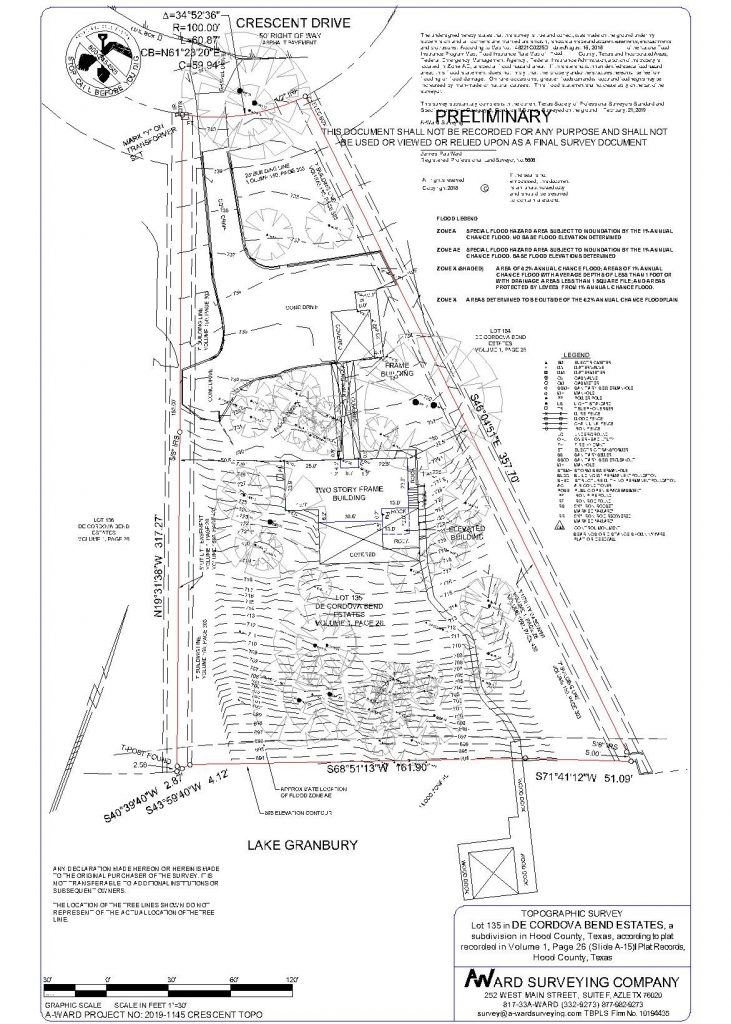
Topographic
A Topographic Survey is a type of survey which depicts the configuration (relief) of the earth’s surface (ground) and the location of natural and artificial objects thereon. They are generally used by engineers for designing of construction plans. The final product is a map showing any fences, walls, buildings, sheds, driveways, streets, curbs & sidewalks, pools & patios, walkways, stairs-utilities and trees on the property. It will also show elevation references and natural features including ground contours.

